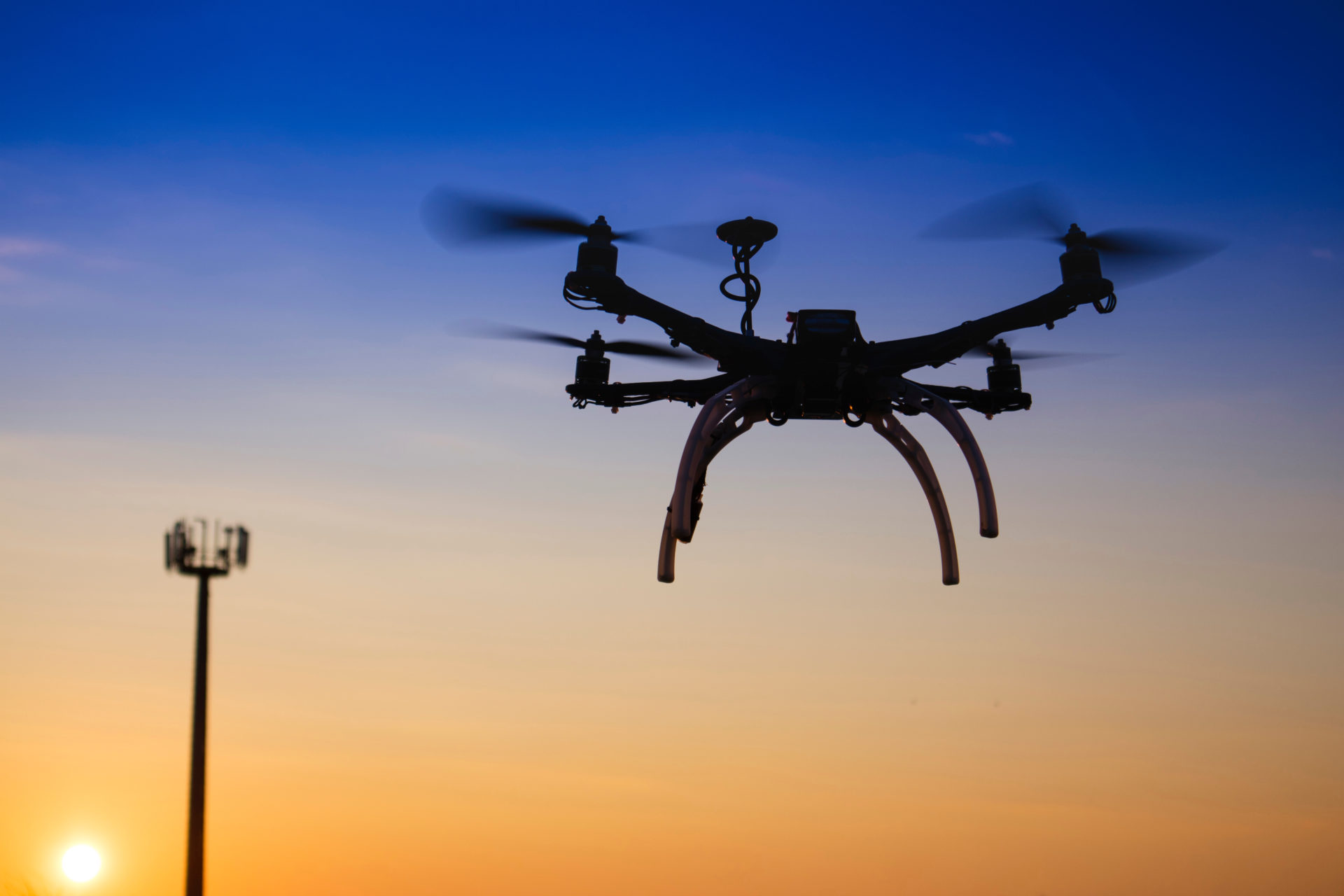
UAV Drone Services
Commdex provides on-demand commercial UAV Drone Flight Services and Solutions across 48 states.
Commdex specializes in drone data collection, image and video analysis, surveying, thermographic imaging,
and mapping services across a variety of industries including.
- Architectural Engineering and Construction
- Energy | Utilities | Telecommunications
- Commercial Real Estate | Land Development
- Public Safety, Security and Surveillance
- Industrial Infrastructure Inspections
Commdex creates value by delivering data efficiently and effectively through a secure cloud-based data management
platform called Commdex Cloud. Through Commdex Cloud we provide an end-to-end solution by managing the entire
data acquisition and management process for you: from mission planning and development, piloting the UAV,
analyzing the data, extracting insights from that data, and delivering measurable and actionable tasks to
support decision making.
Further enhancing the acquisition of the mission data, Commdex also provides “Total Asset and Data Management”
solutions and storage for Asset Managers, Property Managers, and Industrial Clients. Commdex Asset and Data Management
solutions are built around spatial analytics, big data intelligence, artificial intelligence, and decision
support systems.
Our Data Management services include:
- Data Acquisition
- Data Attribution Management
- Data Field Management
- Data Visualization
- Data Insight